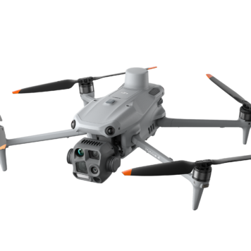
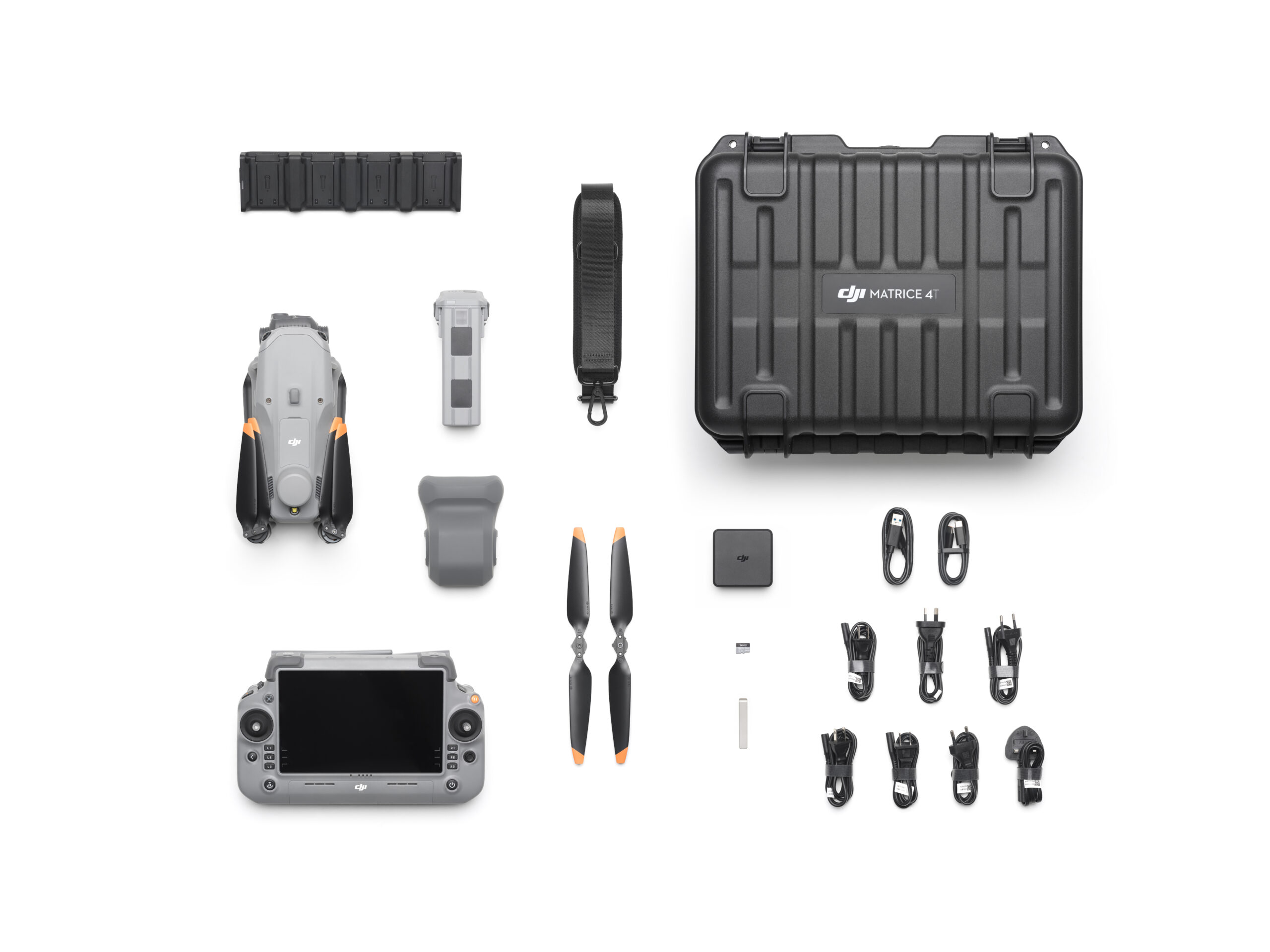
Description
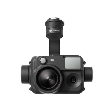
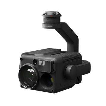
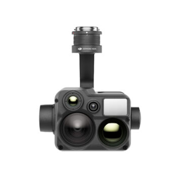
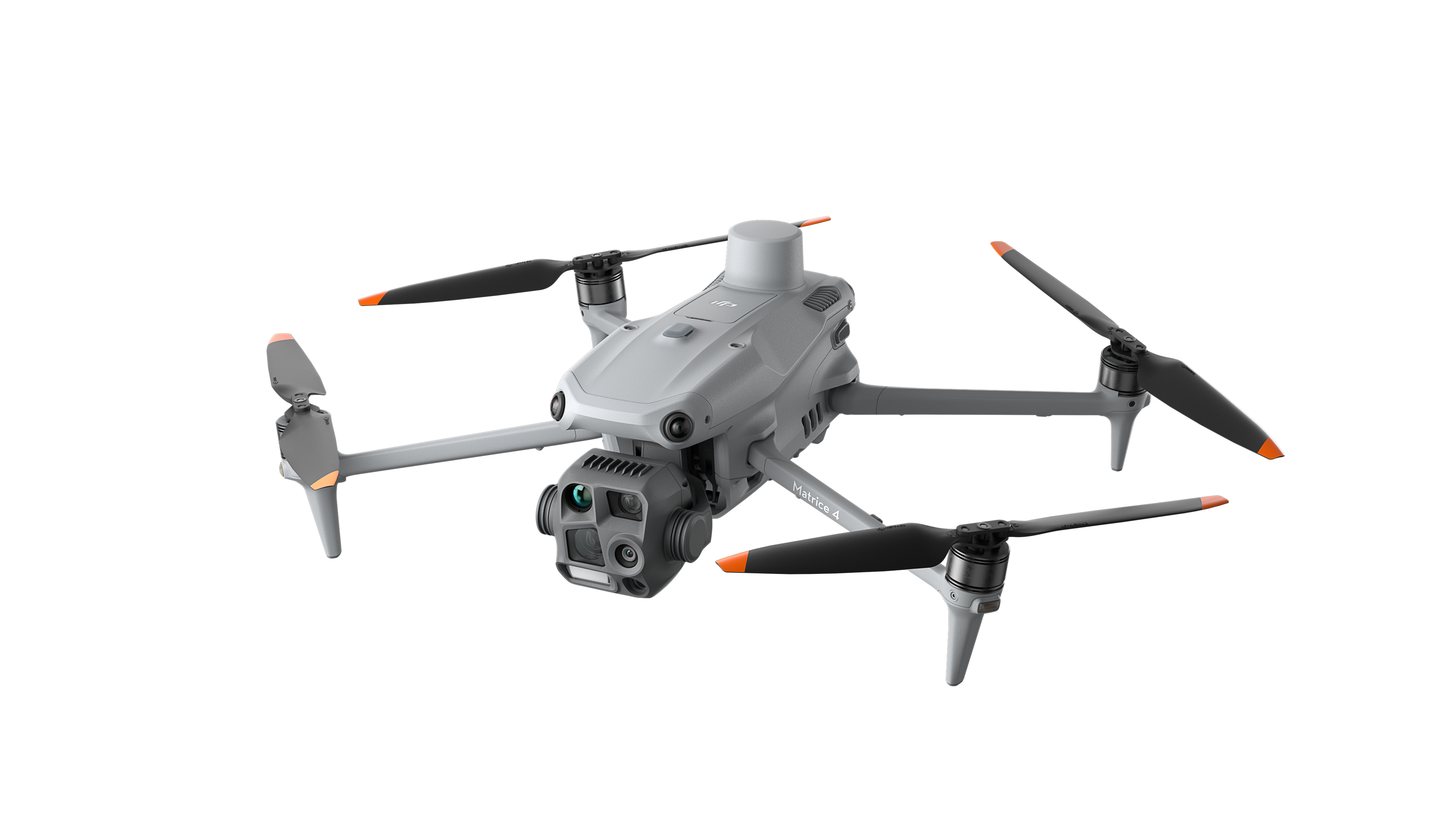
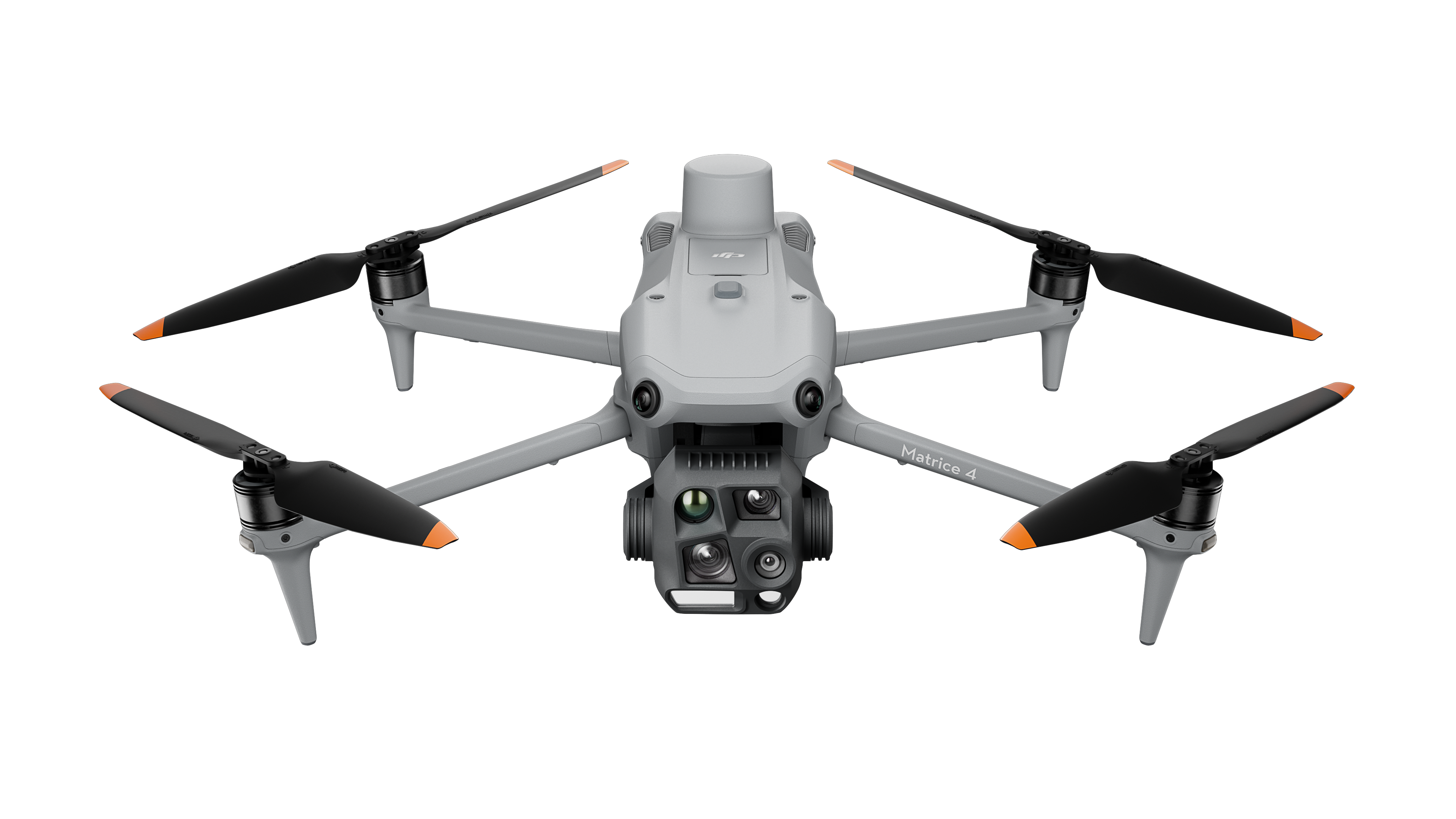
DJI Matrice 4 Thermal
Specifications:
Smarter Operations
The built-in model can detect vehicles, vessels, and subjects during search and rescue operations or routine flights. It also supports switching to other models, enabling the expansion of application scenarios. Additionally, it supports high-res grid photos and features powerful tracking capabilities.
Laser Range Finder, Precise Measurement
The laser range finder enables real-time precise measurement. Through simple operations such as pin point, line drawing, and area calculation, it can complete tasks like marking target locations for inspection purposes or calculating the area of a wildfire. Additionally, users can share info via the DJI Pilot QR code or FlightHub 2 with relevant personnel to enhance collaboration and workflow efficiency.
Observation Range Recording
DJI Pilot 2 can highlight the center position of the camera frame and ground area observed. It can display the surveyed area on the map, making it especially useful for patrols, and rescue operations in mountainous terrain without clear landmarks.
Night Scene Mode
The Matrice 4 series has received a significant night mode upgrade. Its Full-Color night vision now supports three modes and includes two levels of enhanced noise reduction. Equipped with an IR Cut Filter and NIR auxiliary light, it effortlessly overcomes the challenges of darkness, ensuring search and rescue subjects clearly visible.
Smart Low-Light Photo
The Matrice 4 series cameras feature larger apertures and intelligent low-light capabilities, significantly enhancing performance and improving operations during dusk and nighttime.
NIR Auxiliary Light
The Matrice 4T features new NIR illumination hardware, enabling lighting distances of up to 100 meters. [4] This ensures clear visibility of objects in dark environments, making it ideal for applications like wildlife protection.
Thermal Imaging
The Matrice 4T supports infrared High-Res Mode, with image resolutions up to 1280 × 1024. It also offers Ultra-High Resolution, revealing small temperature details for various operations. Each device undergoes temperature accuracy calibration and utilizes an onboard temperature sensor to provide real-time temperature measurements.
Low-Light Fisheye Omnidirectional Sensing
The Matrice 4 series have six high-definition low-light fisheye vision sensors, significantly enhancing visual low-light positioning and obstacle avoidance capabilities. This allows for automatic obstacle avoidance, intelligent rerouting, and safe return in urban low-light environments.
Enhanced Medium Telephoto
The Matrice 4 series is equipped with a medium tele camera, expanding its capabilities for medium-range inspection tasks. During power line or bridge inspections, it can detect screws and cracks from a distance of 10 meters and clearly read instrument data at substations.
Super Resolution Telephoto
The tele camera of the Matrice 4 series has significantly improved clarity, featuring 48 MP resolution, capable of capturing incredibly details from signs up to 250 meters away. Additionally, the Matrice 4T is equipped with an IR-Cut Filter, ensuring 24/7 operations.
Foreground Stabilization for Telephoto Imagery
The upgraded telephoto stabilization makes foreground subjects stable and clear during telephoto shooting at 10x zoom or higher. In scenarios such as public safety and inspections, subject details are clearly visible.
Electronic Dehazing, Clear as Ever
In conditions such as smog or atmospheric humidity, Electronic Dehazing supports three modes (Low, Medium, High) to improve the imaging clarity of the Matrice 4 series to match different operational environments and requirements.
Rapid 0.5-Second Interval Shooting
The Matrice 4E wide-angle camera supports rapid 0.5-second interval shooting in both orthophoto and oblique photography modes, enabling high-speed aerial surveying from multiple angles. Additionally, the mapping flight speed can reach up to 21 meters per second, significantly enhancing work efficiency.
5-Directional Oblique Capture
The Matrice 4 series support a new 5-directional oblique capture. The gimbal can intelligently rotate and shoot at multiple angles based on the survey area, achieving the effect of multiple shots in a single flight compared to previous models, significantly enhancing the efficiency of small drone oblique photography.
3-Directional Ortho Capture
Matrice 4E supports 3-directional ortho capture, enabling lateral capturing while performing ortho collection tasks, which reduces lateral overlap. A single flight can complete mapping operations for an area of 2.8 square kilometers. No additional elevation optimization flight route is required to achieve better elevation accuracy. Combined with new DJI Terra capabilities, it further enhances reconstruction efficiency while ensuring quality.
Smart 3D Capture, Precision Modeling
DJI Matrice 4E supports Smart 3D Capture, which allows you to capture and create a rough model on the remote controller. Based on the rough model, it can quickly generate precise mapping routes close to a structures surface, completing detailed measurements and modeling of irregular buildings. It also supports displaying virtual space routes and waypoint photos for smart 3D capture, making it convenient to assess specific routes’ flight safety and coverage area.
Fusion Positioning, Safe Return-to-Home
The Matrice 4 series come with an integrated DJI RTK module which supports the extended L5 frequency band and features GNSS+Vision Fusion Positioning and Navigation System. It allows for the return-to-home point to be updated through visual positioning, allowing for rapid takeoff within 15 seconds. Even without GNSS signals, it can complete the return-to-home process, effectively overcoming signal obstructions and interference commonly found in urban environments.
Intelligent Guidance, Unobstructed Flight
When the DJI RC Plus 2 Enterprise remote controller is connected to the internet, it can load terrain elevation maps and preload detailed maps. This enables automatic path planning for obstacle avoidance, effectively managing scenarios such as flying at night or through mountainous areas, ensuring the safety of flight operations. The drone has a 5-directional vision assist view system along with downward vision, which aids in providing comprehensive visibility for enhanced protection.
Gimbal-Following Spotlight
The DJI AL1 SpotLight can illuminate subjects up to 100 meters away, and features two modes, Always-On and Strobe. It can connect with the gimbal, enabling it to follow the camera’s movements to ensure the illuminated area aligns with the camera’s view. Additionally, the spotlights can focus on a single object or offer a wide field of view (FOV) which illuminates up larger areas.