DJI Zenmuse L2
Introducing the DJI Zenmuse L2, our latest highly integrated LiDAR system designed for precise and accurate 3D data collection.
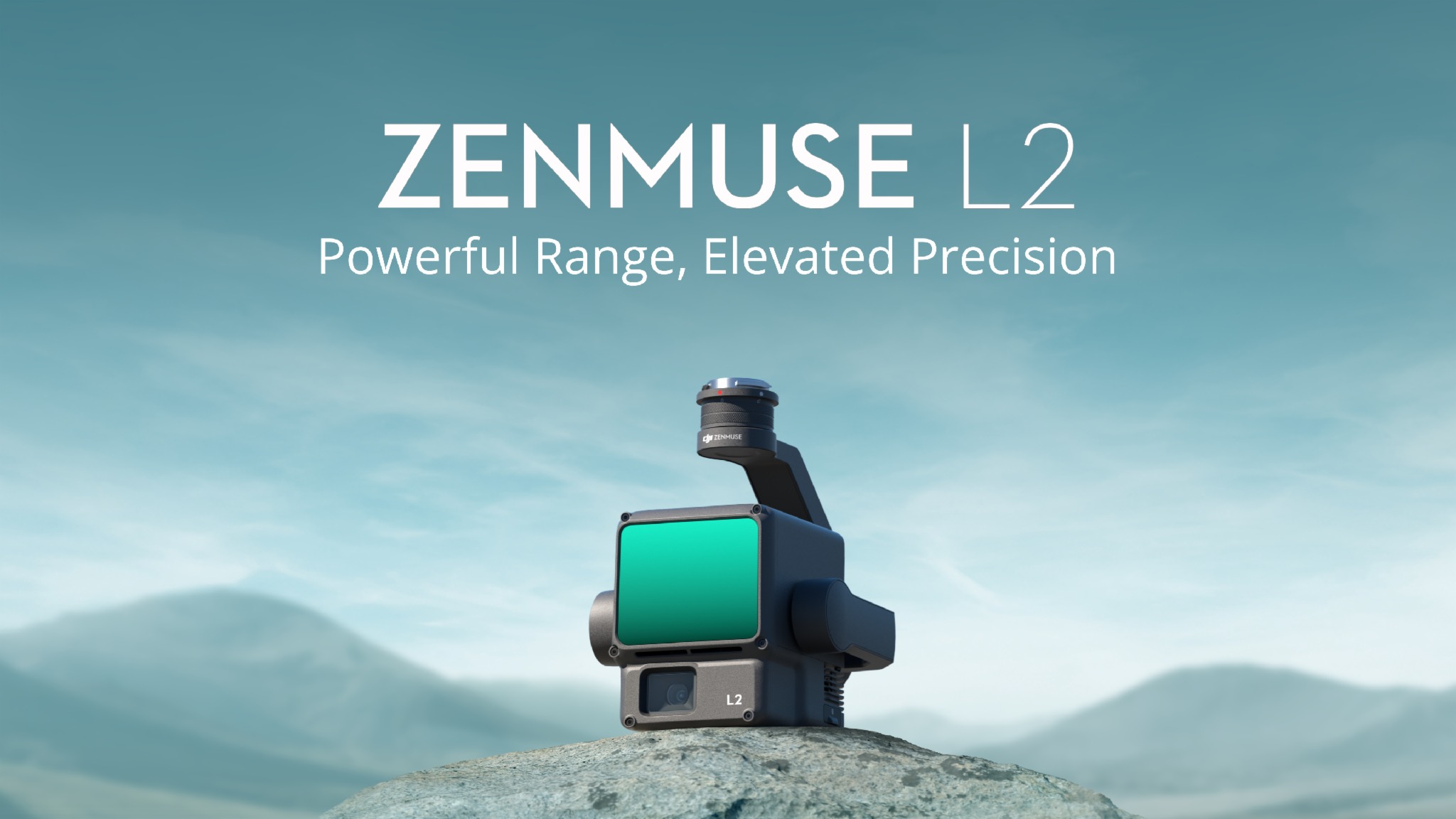
The Zenmuse L2 integrates a 4/3 CMOS RGB mapping camera, a Livox LiDAR module, and a high-accuracy IMU, all on a 3-axis stabilized gimbal. It can scan complex objects within an extended range and generate accurate point clouds faster. With a detection range of up to 250 meters and a reduced laser spot size, it can detect smaller and more detailed objects, even in dense vegetation, resulting in more accurate digital elevation models.
The Zenmuse L2 supports up to 5 returns, enhancing the capability to collect bare earth data. In addition, it supports two scanning modes, making it ideal for precise topographical survey scans. The IMU requires no warm-up time, allowing users to capture data immediately after powering it on.
The Zenmuse L2 can capture LiDAR and photogrammetry data simultaneously while maintaining True Color LiDAR data. It’s the perfect tool for professionals in various industries, including surveying and mapping, energy, forestry, and construction.
Click here for more info: https://brnw.ch/21wDiIV