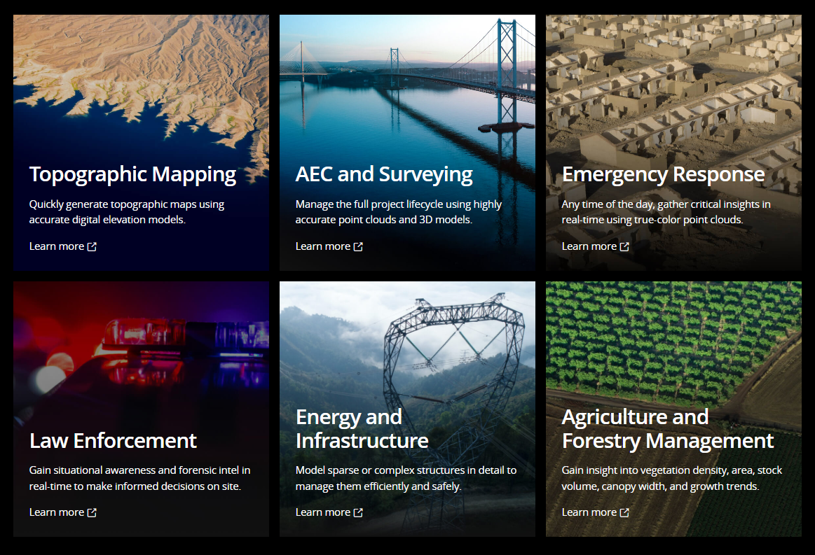
Topographic Mapping
Quickly generate topographic maps using accurate digital elevation models.
AEC and Surveying
Manage the full project lifecycle using highly accurate point clouds and 3D models.
Emergency Response
Any time of the day, gather critical insights in real-time using true-color point clouds.
Law Enforcement
Gain situational awareness and forensic intel in real-time to make informed decisions on site.
Energy and Infrastructure
Model sparse or complex structures in detail to manage them efficiently and safely.
Agriculture and Forestry Management
Gain insight into vegetation density, area, stock volume, canopy width, and growth trends.
To check price of DJI Zenmuse L1, please click below: