3-in-1 Power Solution from ELIOS 3 Drone: Volume Calculation, Inspection, and UT Measurement
In getting the ELIOS 3 + Payloads, the ROI just got faster with the multiple things it can do in powerplant operation.
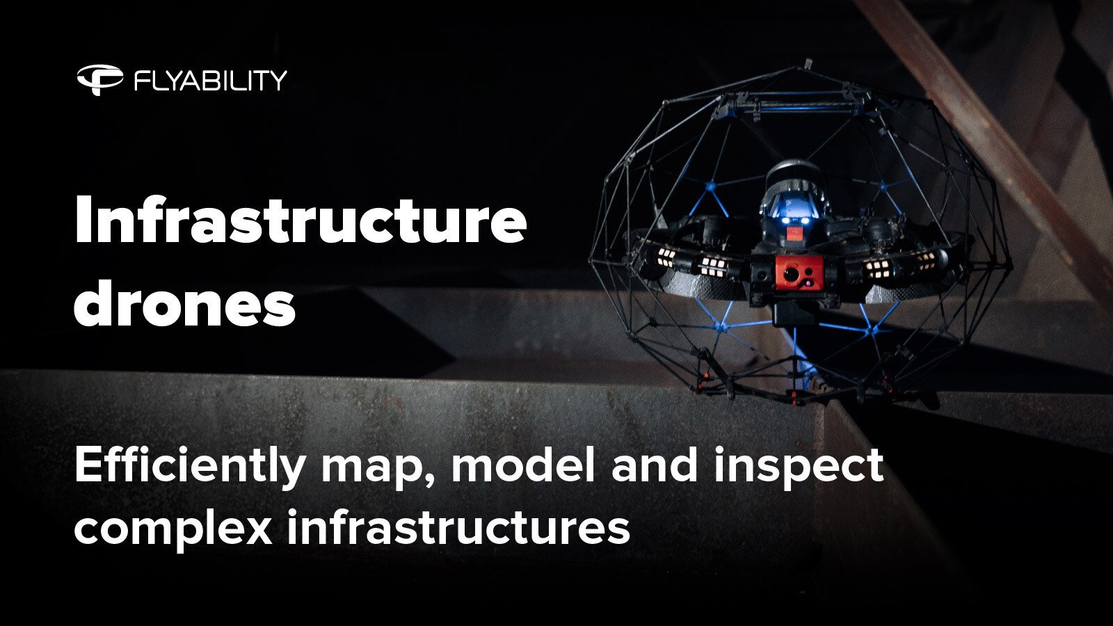
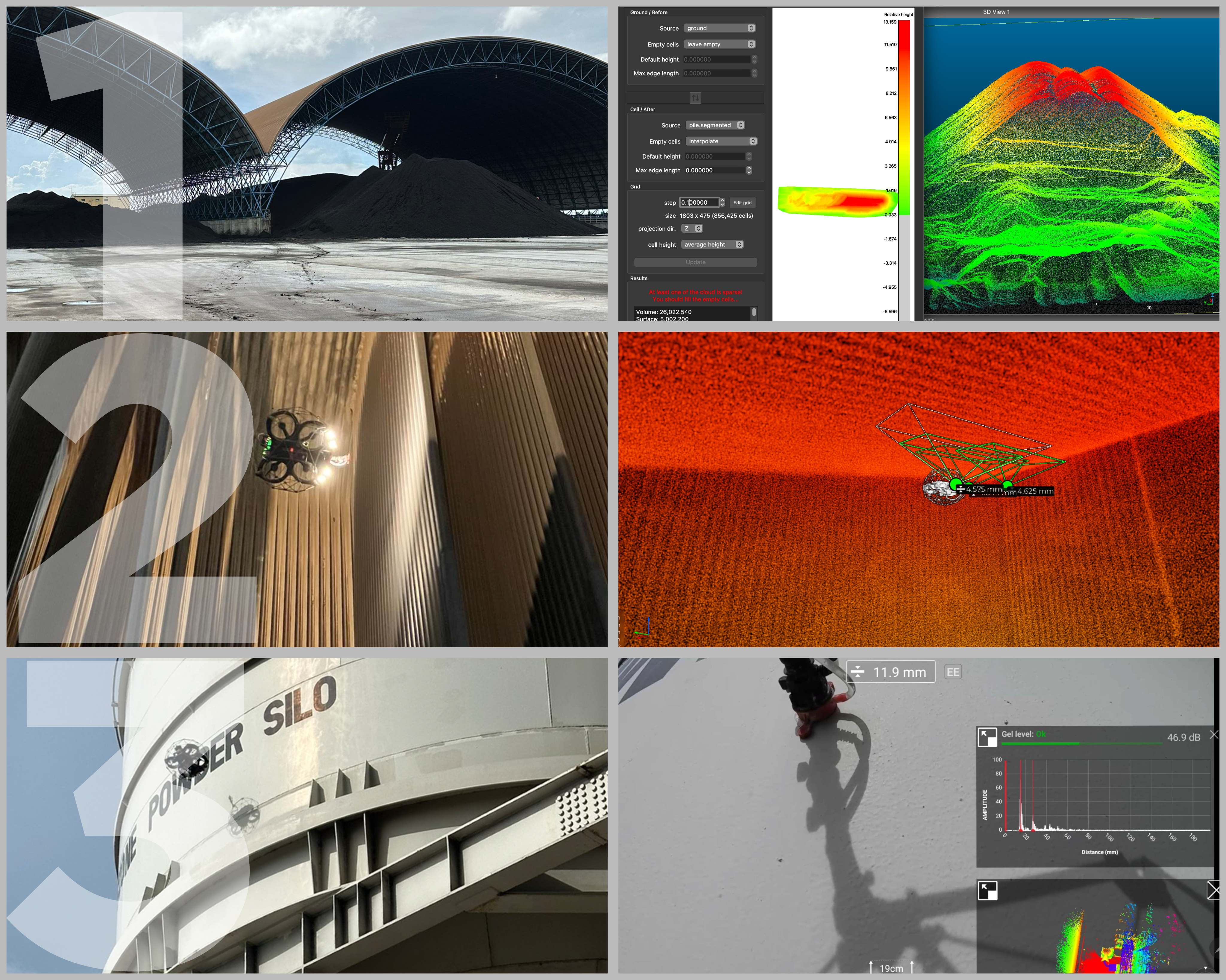
ELIOS 3 offers 3-in-1 Solution for power plants, including stockpile volume calculation, asset inspection and mapping, and UT Measurement.
1. Elios Volumetric Measurement (EVM): Utilizes LiDAR for accurate, risk-free stockpile measurements, eliminating the need for personnel to climb stockpiles or do traditional methods. Get volume calculations in minutes using CloudCompare!
2. Powerplant Assets Inspection: Improve worker safety, operational efficiency and data quality in your powerplant. The ELIOS 3 is a powerplant drone created to improve inspection safety and efficiency by up to 90%, saving the plant time and inspection costs.
3. Elios 3 + UT Payload: Combine visual inspection, LiDAR, and UT probe for safe UT measurements for indoor assets, confined spaces, and even outdoors. Easily do spot UT measurements in confined spaces and even at heights.
The 3 use-cases mentioned above are applicable to other industries as well like cement, mining, infrastructure, and more.
Contact us for a full presentation and demo of the ELIOS 3 solution and its growing list of tools and payloads.
