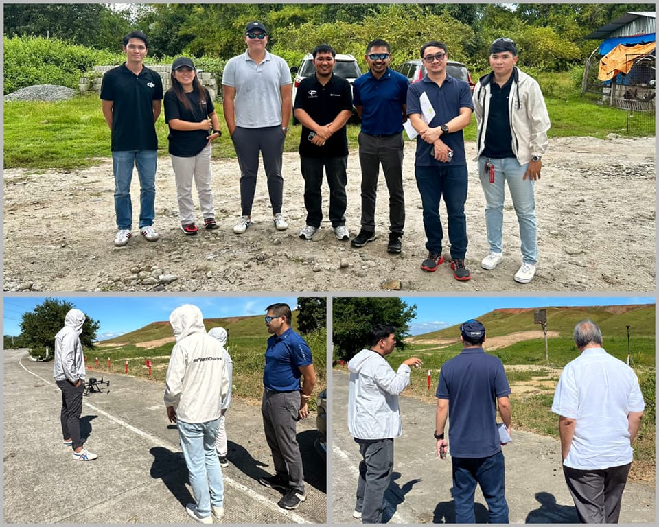
DJI Drones Mapping Demo for Land Acquisition Team
Land Surveying Key Benefits:
Cadastral Surveying
Boost the efficiency of data collection by quickly creating reality models that include plots and attachments using high-accuracy drone solutions.
Land-cover and Land-use Change
Generate 2D orthomosaics in real-time so teams can immediately visualize land cover and identify any changes.
Topographic Surveying
Map and model large areas quickly with drones to produce data for accurate 2D and 3D models.
Map and model large areas quickly with drones to produce data for accurate 2D and 3D models. Make intelligent decisions based on solid and accurate data gathered. With BRAAMDrones team and working with the great crew of DJI Enterprise Philippines learn more about the DJI Enterprise Solutions for land surveying, development, and acquisition. Contact us please.
