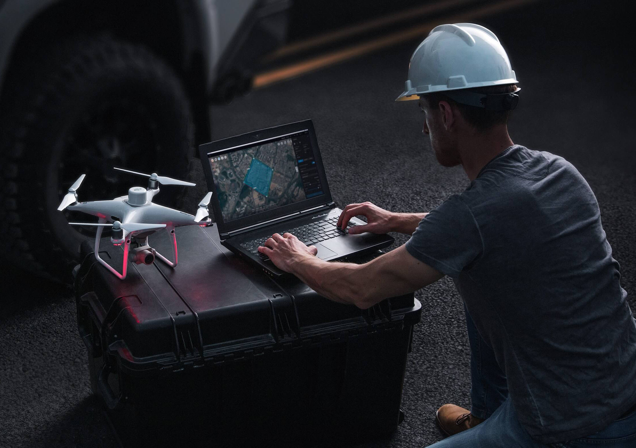
DJI Terra: FAQ’s Answered
DJI Terra is popular all-in-one drone mapping solution, to understand it better, read top FAQ’s to see how it can improve your 3D modeling experience.
- What is DJI Terra, and how is it integrated with DJI drones? DJI Terra, a 3D model reconstruction software, is a solution that efficiently processes aerial image data captured with DJI drones. It swiftly converts this data into high quality and accurate digital maps that are easy to understand. It also enables users to transfer and process their digital maps quickly and efficiently. This integration enables you to harness the full power of your data sets, whether you’re in surveying, construction, agriculture, or other industries. With DJI Terra, you can expediently and effectively transform your drone-captured data into actionable insights, adding significant value to your business or work in these industries.
- Can DJI Terra output data in standard formats for easy application integration? Absolutely. DJI Terra supports various standard formats, such as TIFF orthomosaic, LAS point cloud, DXF, and several 3D model formats. This compatibility makes integrating DJI Terra’s output data with other software you might use, like GIS (Geographic Information Systems) or CAD (Computer-Aided Design) applications, accessible.
- Can DJI Terra output data in different coordinate systems? DJI Terra offers over 8500 built-in common coordinate systems, allowing users to select a system by name or EPSG code. Additionally, it supports the import of PRJ files and the use of seven-parameter transformations to customize coordinate systems. This flexibility simplifies the integration of data with various GIS, CAD, and other third-party data application software. DJI Terra’s capability to handle different coordinate systems enhances its usability for various drone data industry applications.
- Can ground control points (GCPs) be used to process LiDAR data in DJI Terra? Yes, DJI Terra supports the use of Ground Control Points (GCPs) to improve the elevation accuracy of LiDAR data. You can also import Check Points to verify the accuracy of your LiDAR data. This feature is especially valuable for projects that require high precision, such as topographic mapping and infrastructure monitoring.
- Can Zenmuse L1 & L2 raw data be processed without an RTK connection? Can the same data be processed during a regular GPS flight? Yes, you can process both Zenmuse L1 and Zenmuse L2 raw data without an RTK connection using a method called post-process kinematic (PPK). You’ll need to add a base station observation file (such as Rinex, RTCM, OEM, or UBX) and additional raw data to the L1/L2 raw data folder. This ensures you get accurate point cloud files without a direct RTK connection during a flight.
- Can I share my output files from DJI Terra? Yes! DJI Terra makes it easy to share your output files. Through DJI Modify, you can create a URL link and share it with other team members, clients, or stakeholders. This new feature streamlines collaboration and ensures that everyone involved has access to the latest data for better-informed decisions and planning.
