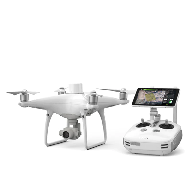
DJI Phantom 4 RTK Drone Enterprise Drone
For a drone that’s designed for aerial surveying and 3d mapping, look no further than the new DJI Phantom 4 RTK. Built specifically with surveyors in mind, the Phantom 4 RTK incorporates a new real-time kinematics (RTK) system to maintain positional accuracy and deliver survey-grade data. With this launch, DJI has rethought its drone technology from the ground-up, revolutionizing its systems to achieve a new standard for drone accuracy – offering Phantom 4 RTK customers centimetre-accurate data while requiring fewer ground control points.