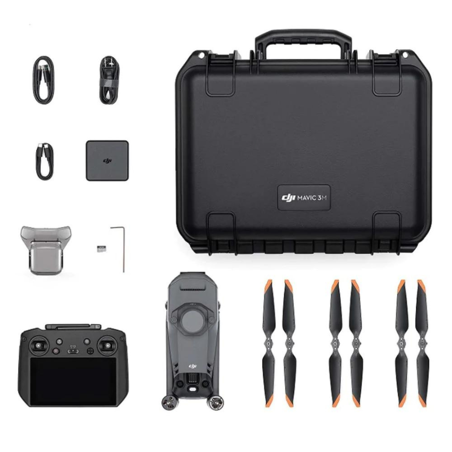
Description
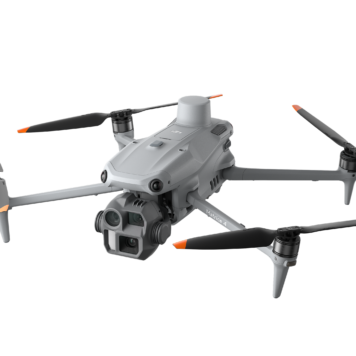
DJI Mavic 3 Multispectral

Specifications:
Efficient Aerial Surveying for Precision Agriculture
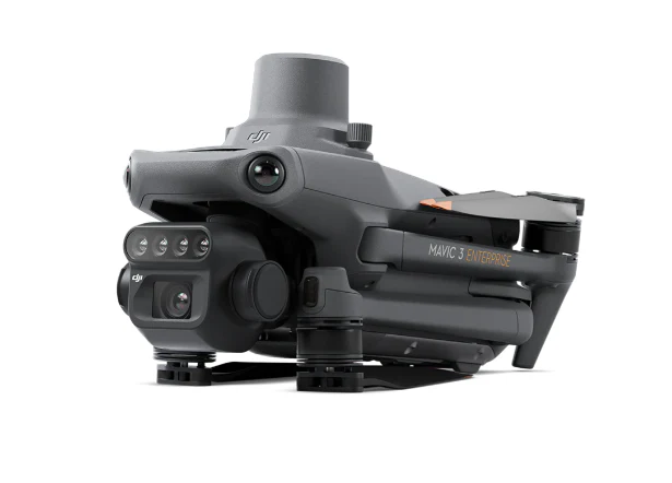
The DJI Mavic 3 Multispectral combines RGB and multispectral imaging into a compact, foldable drone platform designed for agricultural monitoring, environmental surveying, and vegetation analysis. It provides valuable crop health insights while maintaining the portability and ease of deployment of the Mavic series.
Integrated Multispectral Imaging System
Equipped with one 20 MP RGB camera and four 5 MP multispectral sensors (Green, Red, Red Edge, and Near Infrared), the Mavic 3 Multispectral captures detailed crop and vegetation data. This enables users to generate NDVI and other vegetation index maps for crop health assessment and precision farming applications.
Sunlight Sensor for Accurate Data Collection
An integrated sunlight sensor records solar irradiance in real time and compensates image data during post-processing. This ensures more consistent and accurate multispectral results across varying lighting conditions.
High-Precision RTK Positioning
The built-in RTK module delivers centimeter-level positioning accuracy, enabling highly precise aerial mapping and field analysis. This minimizes the need for ground control points and improves the efficiency of agricultural surveying operations.
Extended Flight Time
With up to 43 minutes of flight time, the Mavic 3 Multispectral can cover large agricultural areas in a single mission. This reduces operational downtime and increases productivity during crop monitoring and mapping projects.
Fast and Efficient Mapping
The aircraft can survey up to 200 hectares in a single flight, making it ideal for large-scale farms, plantations, and environmental monitoring projects. Automated flight routes streamline data collection and improve operational efficiency.
Omnidirectional Obstacle Sensing
Multiple wide-angle vision sensors provide omnidirectional obstacle detection and avoidance, helping ensure safe flight operations in complex agricultural and rural environments.
Reliable Long-Range Transmission
DJI O3 Enterprise Transmission provides stable HD video and telemetry communication over long distances, allowing operators to maintain situational awareness throughout the mission.
Precision Agriculture Workflow Integration
Collected multispectral data can be processed into vegetation health maps, crop growth analysis reports, and field management recommendations. The system supports efficient decision-making for irrigation planning, fertilizer application, and crop health monitoring.