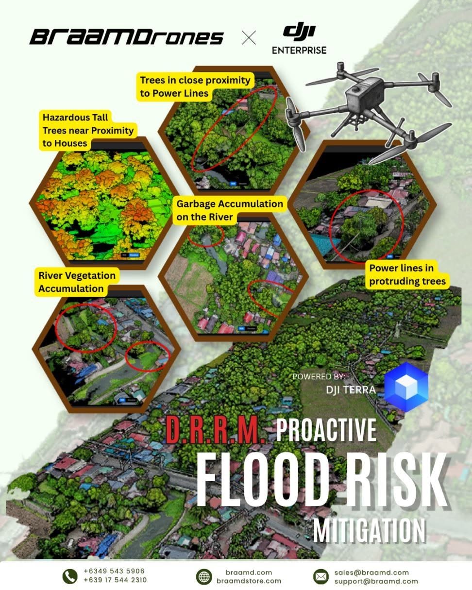
In partnership with a local Disaster Risk Reduction and Management Office, we leveraged the power of the DJI Matrice 4 Aerial Drone and DJI Terra software to conduct a comprehensive aerial assessment of rivers and critical infrastructure. This proactive approach replaces dangerous and time-consuming ground inspections, enabling faster, safer, and more actionable data collection.
Using this drone solution, we were able to detect and map key hazards before the typhoon season arrives:
✅ River Vegetation Overgrowth – Identified dense vegetation blocking water flow.
✅ Power Lines in Protruding Trees – Detected trees leaning dangerously towards electrical wires.
✅ Hazardous Tall Trees Near Houses – Assessed the risk of trees falling on residential structures.
✅ Trees Close to Power Lines – Mapped trees in immediate proximity to critical electrical infrastructure.
✅ Garbage Accumulation on the River – Documented solid waste and garbage piles causing blockages.
By processing the captured data with DJI Terra, we produced high-resolution 2D maps and 3D models, providing the MDRRMO with a clear baseline to prioritize cleanup efforts, plan evacuations, and protect both the community and first responders.
Contact Us:
📩 sales@braamd.com
📞 +6349-543-5906 / +63917-544-2310
🛒 braamdstore.com
🔗 braamd.com